Blank land cover map of the city and department of Paris, France
Auteur/Créateur:
Crédit:
Travail personnel
Sources of data:
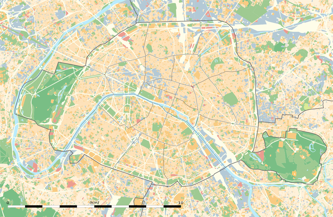
- Modes d'Occupation du Sol (MOS) from the Institut d'Aménagement et d'urbanisme de l'Île-de-France (Open Database licence), 2012-01 data;
- Boundaries from the Institut d'Aménagement et d'urbanisme de l'Île-de-France (Open Database licence), 2011-01 data.
Lien court:
la source:
Taille:
1371 x 893 Pixel (1110232 Bytes)
la description:
Carte vierge de l'occupation du sol de la ville et département de Paris, France, tel qu'en janvier 2012, destinée à la géolocalisation, avec limite distincte des départements et arrondissements.
Licence:
Commentaire sur la licence:
| Attribution and Share-Alike required |
|---|
| Any use of this map can be made as long as you credit me (Eric Gaba – Wikimedia Commons user: Sting) as the author and distribute the copies and derivative works under the same license(s) that the one(s) stated below. A message with a reply address would also be greatly appreciated. |
Termes de la licence:
Creative Commons Attribution-Share Alike 3.0
De plus amples informations sur la licence de l'image peuvent être trouvées ici. Dernière mise à jour: Mon, 08 Nov 2021 10:40:13 GMT